


400-Mile-Long Chain of Fossilized Volcanoes Discovered in China
Researchers have found a 400-mile-long chain of ancient volcanoes buried beneath South China. These volcanoes formed millions of years ago during the breakup of a supercontinent, affecting Earth's climate. The discovery sheds light on early Earth's crust formation.
Researchers have discovered a 400-mile-long chain of extinct, fossilized volcanoes buried deep below South China. The volcanoes formed when two tectonic plates collided during the breakup of the supercontinent Rodinia hundreds of millions of years ago, the scientists reported in a new study. The ancient volcanoes extend the region of past volcanism in this area by several hundred miles and may have affected Earth's climate.
About 800 million years ago, during the early Neoproterozoic era, South China sat at the northwestern margin of Rodinia. Shifting plate tectonics caused this area to break off into what is now the Yangtze Block plate, pushing it toward the China Ocean plate. As the two plates collided, the denser oceanic crust sank beneath the more buoyant continental crust and slid deep into Earth — a process known as subduction.
As oceanic crust subducts, it heats up and releases water, which generates magma. The magma rises to the surface, creating a long, narrow chain of volcanoes that follow a curved line above the subduction zone. This is known as a volcanic arc.
Volcanism and mountain building in arc systems create new crust and modify the existing crust. Therefore, researchers study ancient volcanic arcs to understand how crust formed on early Earth.
Geologists previously discovered remnants of an extinct volcanic arc along the edge of the Yangtze Block dating back to the early Neoproterozoic. In the new study, published June 30 in the Journal of Geophysical Research: Solid Earth, Zhidong Gu, a senior engineer at PetroChina, Junyong Li, a researcher at Nanjing University, and colleagues tested whether these arc volcanoes extended further inland.
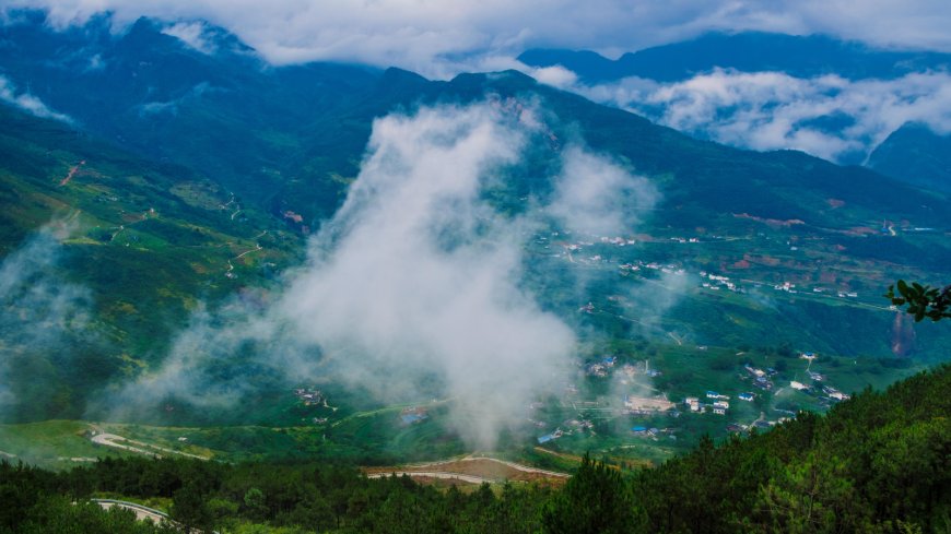
Fossil mountains can be difficult to find because they're gradually worn down by wind and water and buried beneath layers of sediment. Today, several kilometers of sedimentary rocks blanket the interior of the Yangtze Block, forming the Sichuan Basin.
Gu and Li's team used an airborne magnetic sensor to \"see\" the crust beneath these sedimentary rocks. Different rock types contain different magnetic minerals, so geophysicists use magnetic signals to map underground rock formations.
They found a strip of iron-rich rock with a stronger-than-average magnetic field located about 4 miles (6 kilometers) beneath the surface. It formed an approximately 430-mile-long (700 km), 30-mile-wide (50 km) belt stretching from the northeast to the southwest of the Yangtze Block and reaching as far as 550 miles (900 km) inland. Iron-rich rocks like these are generated above subducting oceanic crust.
The team also analyzed rocks from seven deep boreholes drilled into the uppermost crust below the Sichuan Basin. They verified that these rocks came from magma and were chemically similar to new crust formed by arc volcanoes. They dated the magmatic rocks to between 770 million and 820 million years ago, confirming that the rocks had formed during the early Neoproterozoic.
The researchers concluded that plate subduction during the breakup of Rodinia formed a ring of volcanoes extending hundreds of miles into the Yangtze Block's interior.
This finding is surprising, the team said, because most volcanic arcs form narrower belts along the continental margin. For example, the Cascades form a single mountain chain above the Juan de Fuca Plate as it subducts beneath the coast of North America.
Gu and Li attributed the wide Yangtze arc to a different style of tectonics, called flat-slab subduction. In flat-slab subduction, the oceanic plate moves horizontally beneath the continental plate at a shallow angle for hundreds of miles before sinking into the Earth. This process produces two distinct volcanic ridges — one near the boundary where the oceanic plate first slips under the continent, and one farther inland, where it finally sinks. Similar shallow subduction of the Nazca Plate beneath the west coast of South America forms the parallel mountain ranges of the Andes today.
Peter Cawood, an Earth scientist at Monash University in Australia who was not involved in the study, agreed this was one way the inland volcanoes could have formed. However, he proposed an alternative explanation. \"It could be that the two belts are not part of one broad arc system and flat slab, but represent two independent but time-equivalent systems that were sutured together,\" he told Live Science.
Regardless, Cawood said the work presents an \"exciting new set of data in a region that has been difficult to study.\" He added that it \"shows that the volume of magmatic activity along this boundary may be considerably greater than previously realized,\" and its impact on Earth's past climate should be evaluated.
What's Your Reaction?
 Like
0
Like
0
 Dislike
0
Dislike
0
 Love
0
Love
0
 Funny
0
Funny
0
 Angry
0
Angry
0
 Sad
0
Sad
0
 Wow
0
Wow
0


