


Trump Administration Cuts Satellite Data for Antarctic Sea Ice Research
The decision by the US government to reduce satellite data on Antarctic sea ice has raised concerns among scientists. This move impacts critical climate research and could hinder hurricane forecasting. The Sea Ice Index, a key dataset, is now at risk. The implications of diminishing sea ice in Antarctica are far-reaching, affecting penguins, seals, krill, and even the stability of the ice shelf. Scientists fear that without accurate data, the Antarctic margin could retreat faster than anticipated, leading to potential sea level rise.
The US decision to cut satellite data on Antarctic sea ice is seen as part of the Trump administration's broader assault on climate science. This move impacts NASA and NOAA's work, including hurricane forecasting. The Sea Ice Index, a crucial dataset dating back to the late 1970s, is at risk. While the satellites are still operational, the data may not be shared for scientific research, potentially leading to reliance on less reliable sources.
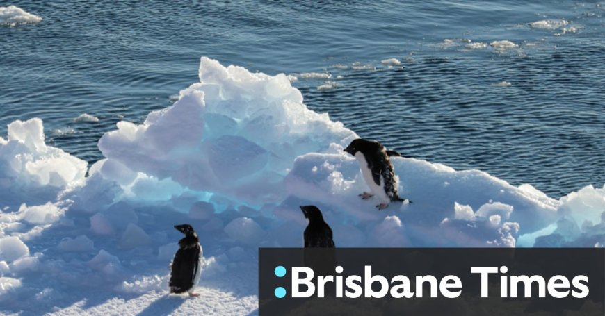
Extremely low sea ice in Antarctica has diverse impacts, from affecting penguins' breeding platforms to endangering krill populations. The reduction in sea ice could also contribute to the destruction of the ice shelf, leading to sea level rise. Scientists warn that underestimating the speed of Antarctic ice retreat due to dwindling sea ice could have significant consequences on sea level rise predictions.
Sea ice's albedo effect, acting as a sunshade in summer, plays a crucial role in reflecting sunlight. The disruption in sea ice patterns could have long-term consequences on the environment, with statistical analysis suggesting a minimal chance that the low sea ice trend is part of natural variability.
According to the source: Brisbane Times.
What's Your Reaction?
 Like
0
Like
0
 Dislike
0
Dislike
0
 Love
0
Love
0
 Funny
0
Funny
0
 Angry
0
Angry
0
 Sad
0
Sad
0
 Wow
0
Wow
0


