


Sydney and NSW Coast Bracing for Impact of 'Bomb Cyclone'
A 'bomb cyclone' has formed in the western Tasman Sea, showing signs of intensifying more than initially forecast. Developing near the coast, this system is set to bring significant impacts to New South Wales, including Sydney, with warnings for flooding rain, gale-force winds, and damaging surf.
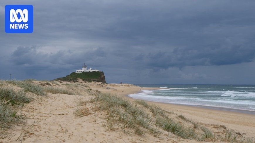
A 'bomb cyclone' has formed in the western Tasman Sea, showing signs of being more explosive than initially forecast. The system's location near the coast will impact New South Wales, including Sydney. The Bureau of Meteorology (BOM) has issued warnings for flooding rain, gale-force winds, and damaging surf.
When a low-pressure system transforms into a storm rapidly, it's termed a 'bomb cyclone' or 'bombogenesis'. Upgraded warnings now include isolated destructive wind gusts above 125 km/h between Foster and Wollongong, including parts of Sydney.
The low-pressure system began intensifying on Monday afternoon off the NSW north coast and is expected to deepen further on Tuesday, bringing heavy rain, strong winds, and high surf. The next 48 hours will see significant impacts across various districts along the coast.
The heaviest rain on Tuesday will shift south down the coast, with totals likely to average 50-100mm. River flooding is possible, with the flood risk shifting to the south coast and Gippsland on Wednesday. Peak wind gusts could reach 110 km/h, leading to tree damage and power outages.
Surf is expected to rapidly increase, with waves potentially exceeding 10 meters. This could cause significant beach erosion, especially on south-facing beaches. Huge waves are expected to persist until at least Friday.
According to the source: Australian Broadcasting Corporation.
What's Your Reaction?
 Like
0
Like
0
 Dislike
0
Dislike
0
 Love
0
Love
0
 Funny
0
Funny
0
 Angry
0
Angry
0
 Sad
0
Sad
0
 Wow
0
Wow
0


